This time, mainly due to the influence of the subtropical high (hereinafter referred to as the "subtropical high"), when "Dusurei" landed, the subtropical high located on its east side showed a nearly "square" shape. Therefore, under the guidance of the southerly airflow on the west side of the subtropical high, the residual circulation of "Dusurei" continued to move northward, and the situation of atmospheric circulation constantly changed. The subtropical high was connected to another high pressure ridge in the west, forming a "high pressure dam" that spanned the north of the residual circulation of "Dusurei". However, due to the impact of land friction, "Du Suri", who had already suffered significant damage, was unable to break through the high pressure ahead and had to slow down in the North China region.
Firstly, the stable "high-pressure dam" slows down the residual circulation of the typhoon and prolongs the duration of precipitation. During the northward movement of the residual circulation of Typhoon Dujuan, the powerful subtropical high pressure in the eastern part of Beijing Tianjin Hebei and the ridge of the western high pressure moved eastward, forming a "high pressure dam" in the northern part of North China. The "high pressure dam" delayed the northward movement of Dujuan and its residual circulation. Therefore, the duration of Dujuan's stay in North China to the Huang Huai region increased, resulting in a long duration and large cumulative rainfall.
pagination
Secondly, the combined influence of two typhoons and a subtropical high resulted in favorable water vapor conditions. The "Dusurei" itself carries a large amount of water vapor, and the residual low-pressure system and powerful subtropical high cooperate to form a strong pressure gradient, guiding the significant strengthening of the east and southeast winds, and the water vapor is transported northward smoothly and unobstructed. In addition, the typhoon "Kanu" in the western Pacific also plays an important role, and the strong southeast wind also transports the water vapor near "Kanu" to the North China Plain in a long distance. The two water vapor channels brought unusual water vapor conditions, resulting in a significant amount of precipitation during this precipitation process.
pagination
Thirdly, the terrain is conducive to increasing precipitation. The Taihang Mountains on the west side of the Beijing Tianjin Hebei region intersect positively with the east and southeast winds carrying water systems, while the Yanshan Mountains on the north side also intersect with water vapor channels. Water vapor is blocked and lifted by the terrain, resulting in extreme heavy precipitation in front of the mountains.
pagination
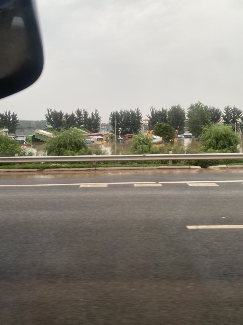
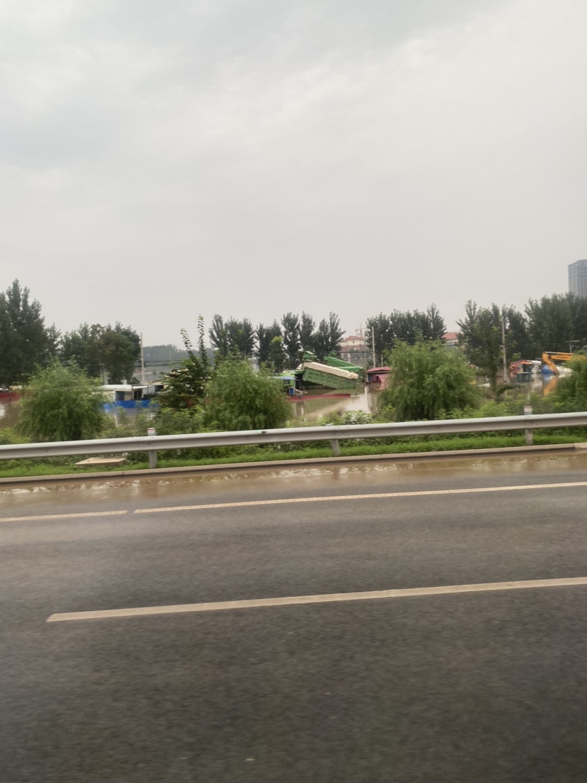
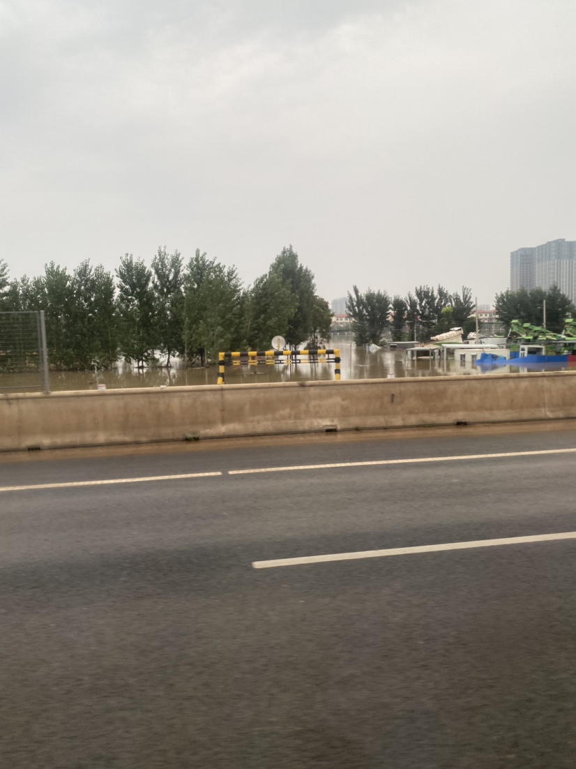
On August 3, 2023, it was reported that from July 27, the average rainfall in Hebei Province was 146.2 millimeters, including 211.5 millimeters in Xingtai, 291.7 millimeters in Shijiazhuang, 356.3 millimeters in Baoding, and 303.6 millimeters in Xiong'an New Area. The province's rainfall was equivalent to 27.5 billion cubic meters of water, which is more than twice the total storage capacity of large and medium-sized reservoirs in the province. This round of heavy rainfall has a wide coverage area, covering an area of over 97000 square kilometers with a thickness of over 100 millimeters; The intensity of rainstorm is strong, covering an area of more than 10000 square kilometers above 400mm, and the hourly rainfall intensity of 108 stations exceeds 50mm. Among them, the accumulated rainfall of Liangjiazhuang Station in Lincheng County, Xingtai City is 1009mm, which is equivalent to the rainfall of two years at a time.
pagination
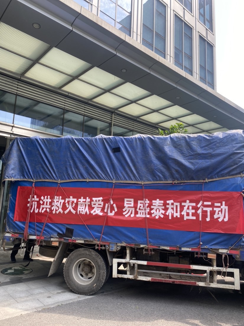
The disaster is severe, and our company is urgently preparing materials to rush to the front line